Barangay Nabilid ZIP Code - 7120 | Pres. Manuel A. Roxas, Philippines
Barangay Nabilid Map
Barangay Nabilid is located in Zamboanga del Norte, Philippines with ZIP code 7120 (postal code). The GPS coordinates are 8.0833°N, 123.1333°E. Navigate to Barangay Nabilid using Google Maps, Waze, or Apple Maps.
Location Details
| Region | Zamboanga Peninsula (Region IX) |
|---|---|
| Province | Zamboanga del Norte |
| City/Municipality | Pres. Manuel A. Roxas |
| Barangay | Barangay Nabilid |
| ZIP Code | 7120 |
| Area Code |
Map coordinates shown for this barangay are approximate, based on Pres. Manuel A. Roxas city center.
Use ZIP code 7120 when sending mail or packages to Barangay Nabilid, Pres. Manuel A. Roxas. This postal code ensures accurate delivery through PHLPost, LBC, J&T Express, Flash Express, and other courier services in the Philippines.
Postal Rates from MINDANAO
PHLPost shipping rates from Barangay Nabilid (MINDANAO) to other regions.
| Service | NCR | LUZON | VISAYAS | MINDANAO | Delivery |
|---|---|---|---|---|---|
| Express Mail | ₱80.00 | ₱90.00 | ₱100.00 | ₱60.00 | 1-3 days |
| Registered Mail | ₱55.00 | ₱80.00 | ₱85.00 | ₱45.00 | 5-7 days |
| Parcel | ₱35.00 | ₱40.00 | ₱43.00 | ₱25.00 | 5-7 days |
Rates for 0-250g. View all rates & weight brackets
Download & Share
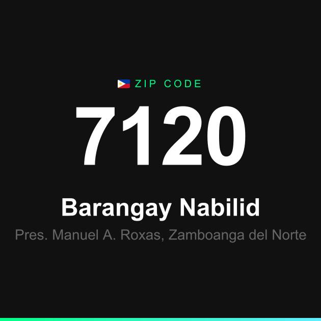
ZIP code card for social media, messaging apps, or print.

Frequently Asked Questions
What is the ZIP code of Barangay Nabilid?
The ZIP code of Barangay Nabilid in Pres. Manuel A. Roxas, Zamboanga del Norte is 7120.
How do I format an address for Barangay Nabilid?
The correct format is: [Name], [Street/Building], Barangay Nabilid, Pres. Manuel A. Roxas, Zamboanga del Norte 7120, Philippines.
What city is Nabilid located in?
Barangay Nabilid is located in Pres. Manuel A. Roxas, Zamboanga del Norte, Philippines.